Drone surveys
Drone surveys’ services
Specialists in both land and building surveying with the latest technology used, aerial surveying offers high quality deliverables in a fast developing sector:
- Aerial Inspection
- Aerial Mapping
- Aerial Survey Consultancy
3D-mesh Model of Cliff Fly Through
no audio on video
Aerial surveying & mapping
Being both building surveyors and UAV operators allows us to not only fly the missions to capture the data, we can provide interpretation and recommendations based on the data also.
We use leading photogrammetry software to enable us to convert done captured data into detailed 3D building models and maps.
Core services:
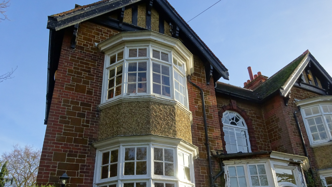
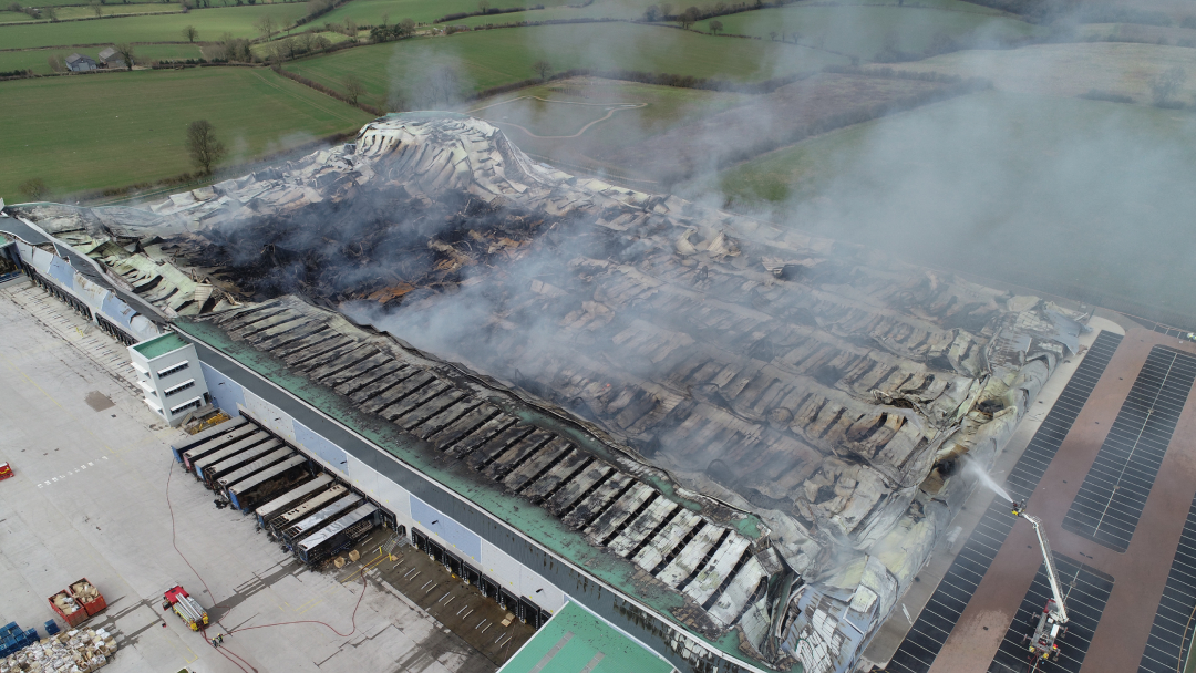
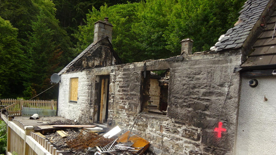
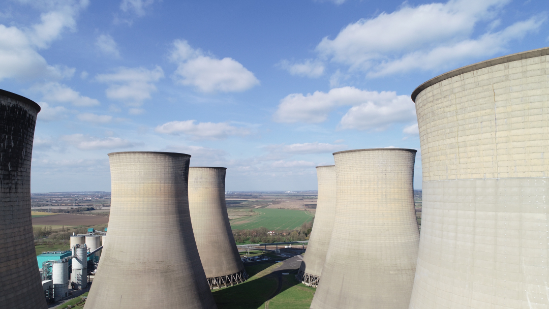
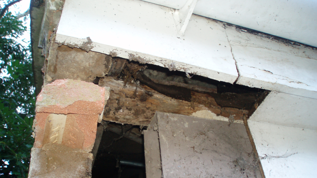
Difficult access inspection and report
Our drones stream a live HD feed to a ground station, allowing clients to view areas of interest in real time.
Façade mapping
This service allows clients to obtain a detailed survey of a building façade, with the option to digitise areas of interest.
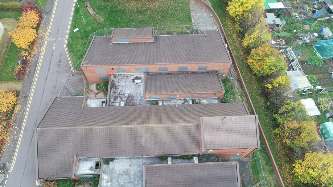
Aerial mapping
Accurate, georeferenced orthomosaics, digital terrain models, point clouds and contour maps are provided, always checked against traditionally surveyed ground control points to ensure accuracy.
Stockpile analysis
The use of drones removes the requirement for personnel to enter areas where machines may be working, allowing operations to continue in quarries for example without the need for interruption for surveying works.
3D building modelling
The 3D point cloud data is then drawn into a 3D model of the building, either in 3D AutoCad or Revit as required by the client.
4K video and photos
Range of services offered
- 3D Building Modelling
- Aerial Inspection
- Aerial Mapping
- Aerial Survey Consultancy
- Building Defect Diagnosis
- Building Surveying
- CDM Principle Designer
- Condition Surveys
- Contract Administration
- Expert Witness Services
- High Level Access Survey & Inspection
- Insurance Claim Validation
- Insurance Claim Project Management
- Leak Detection & Remediation
- Quarry Stockpile Analysis
- Party Wall Surveying
- Project Management
- Site Investigations
- Subsidence Consultancy
- Supply Chain Consultancy
- Topographic & Measured Surveys
Latest projects